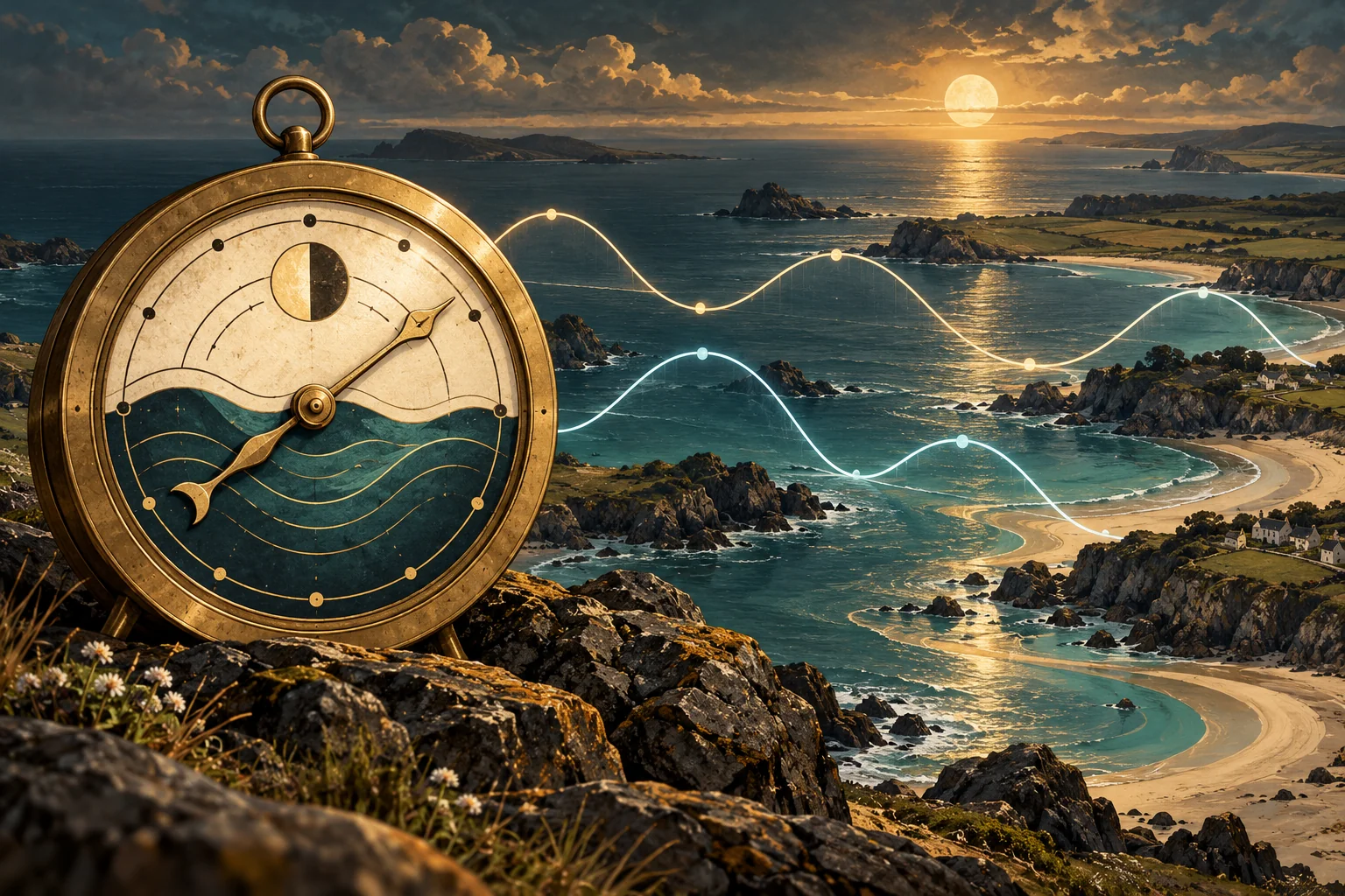
A traditional tide clock is an elegant approximation. It can be useful where local tides closely follow a regular twice-daily rhythm, but the ocean does not run on one universal schedule. Geography turns the astronomical tide into thousands of different local patterns.
The roughly semidiurnal assumption
Most conventional tide clocks use a hand that makes one circuit in about 12 hours 25 minutes—half of the average lunar day. After the owner aligns the hand with a known high or low tide, the movement assumes the next high and low will arrive at evenly spaced intervals. In effect, it models one dominant lunar semidiurnal constituent.
That is why these clocks can give a readable approximation on some Atlantic coasts. It is also their central limitation. Some places experience one high and one low per day. Many others, including much of the U.S. West Coast, have mixed tides with two unequal highs and two unequal lows. Even a coast described as semidiurnal contains smaller solar and lunar components that change the curve over days and seasons.
Real predictions add local harmonics
The Moon is the strongest influence, but it is not the only one. The Sun’s gravity, the Moon’s distance and declination, and the changing geometry of the Earth–Moon–Sun system contribute cycles with different periods. Harbors and ocean basins respond to those forces with their own timing and amplitude.
NOAA represents a harmonic station with multiple constituents. Each constituent is a cosine curve with a known speed plus a locally measured amplitude and phase. Adding them produces the station’s predicted tide curve. NOAA’s standard explanation illustrates a prediction as the sum of 37 such curves. A single-speed clock hand cannot reproduce that superposition.
Why nearby stations can disagree
Continents interrupt the ideal tidal bulges. At smaller scales, coastline shape, seafloor depth, islands, friction, river flow, and narrow channels alter the wave. As the tide moves into a bay or estuary it may be delayed, amplified, reduced, or distorted. Two ports that look close on a road map can have noticeably different high-water times and ranges.
Long-term observations allow NOAA to calculate harmonic constants at a harmonic station. Where a shorter observation record is available, NOAA may publish a subordinate station instead. Its high and low predictions begin with a designated reference station, then receive station-specific time and height corrections. This is a practical acknowledgment that “nearby” is not always “the same.”
Why Puget Sound is especially difficult
Puget Sound and the Salish Sea combine mixed tides with complicated geometry. The incoming Pacific tide passes through straits, around islands, over sills, and into connected basins. NOAA studies show local differences in constituent amplitudes driven strongly by bathymetry and topography. The result includes unequal lows, changing ranges, phase delays, and powerful currents in constricted waterways.
A conventional 12-hour-25-minute mechanism can be aligned at one moment, but it cannot express those changing inequalities. Move that same clock from one port to another and its original calibration may be wrong even sooner.
How a location-aware tide clock differs
NautiKron replaces the repeating-hand assumption with stored NOAA station data and a location-aware calculation. GPS establishes where the clock is and keeps its time synchronized. The clock selects the nearest supported station and calculates the tide for that location without needing Wi-Fi.
Because the station selection is automatic, NautiKron can travel aboard a boat. Sail from port to port and it can move to the correct local prediction rather than carrying one harbor’s calibration along the coast. It still presents the tide with the calm immediacy of a physical clock, but the information behind the display belongs to the place where the clock actually is.
Like any tide prediction, it describes astronomical water level, not the full effect of wind, atmospheric pressure, waves, river discharge, or tidal current. Those conditions still call for observations and official navigation resources.